 Axiel Solutions
Ecology · infrastructure · highways
Protected species habitat modeling on the Croatan National Forest
Species occurrence, home range, and habitat modeling, with a supporting GIS database, for roadway and infrastructure expansion through a national forest.
Scope
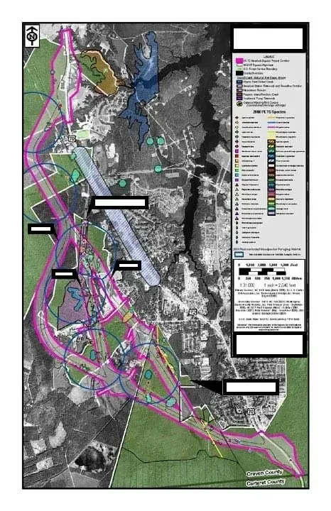
The project evaluated Protected, Endangered, Threatened, and Sensitive (PETS) species along proposed roadway and infrastructure corridors on the Croatan National Forest in eastern North Carolina.
Work performed
Occurrence records, home range estimates, and habitat characterization were modeled in GIS and organized into a project GIS database to support evaluation of the expansion alternatives.