 Axiel Solutions
Earth, ocean, and atmospheric science
Hurricane Irene storm surge on the sound side of the Outer Banks
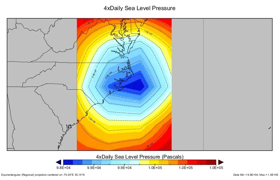
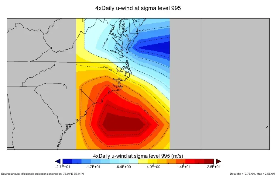
Why was the surge worse on the sound side than the ocean side? An analysis combining standard GIS layers with NOAA multidimensional earth observation data.
The question
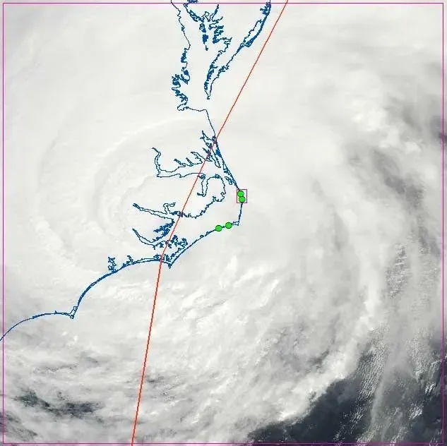
Hurricane Irene made landfall on North Carolina’s Outer Banks on August 27, 2011. Surge on the sound side of the barrier islands was far greater than on the ocean side and sent flooding far up the rivers that drain into the sounds.
The approach
The analysis combined standard Esri-compatible GIS layers with multidimensional earth observation data in NetCDF format released by NOAA, including 4x-daily sea level pressure and near-surface wind fields, to examine the meteorological and oceanic drivers behind the destructive sound-side surge.