 Axiel Solutions
Web mapping · QGIS and Leaflet
HiCo FADS: a seafloor view of Hawaiʻi County fish aggregating devices
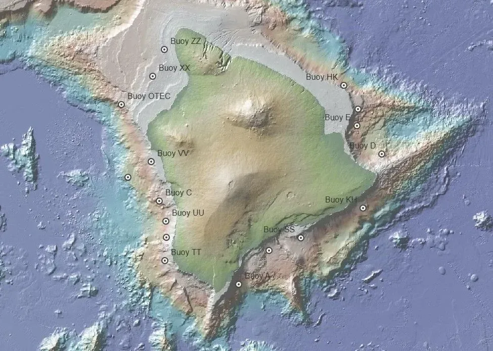
A Leaflet web map that shows the seafloor beneath each fish aggregating device (FAD) off Hawaiʻi Island.
What it shows
The map overlays Hawaiʻi Division of Aquatic Resources FAD buoy locations on the Global Multi-Resolution Topography (GMRT) synthesis, giving a benthic view of the seafloor under each buoy.
How it was built
The project was assembled in QGIS and published as a static Leaflet map delivered through GitHub Pages, so it loads quickly and needs no server to maintain.